
 Greg Cocks
 Kinematic Evolution Of A Large Paraglacial Landslide In The Barry Arm Fjord Of Alaska
--
https://doi.org/10.1029/2023JF007119 <-- shared paper
--
https://doi.org/10.5066/P9EUCGJQ <-- shared technical article
--
https://www.sciencebase.gov/catalogMaps/mapping/ows/5fff561ed34e592d8671ee85?service=wms&request=getcapabilities&version=1.3.0 <-- shared web mapping service
--
#GIS #spatial #mapping #massmovement #landslide #engineeringgeology #remotesensing #sitespecific #LiDAR #iFSAR #paraglacial #kinematics #mapping #monitoring #spatialanalysis #spatiotemporal #fedscience #risk #hazard #glacier #retreat #climatechange #Alaska #BarryArm #fjord #hazardassessment #tsunami #wave #BarryGlacier #change #sensors #fieldwork #surveillance #melting #permafrost #Whittier #geophysics #geology #Alaska #geomorphometry #deglaciating
@USGS


 of Tennessee area")


 over Zion National Park, Utah")


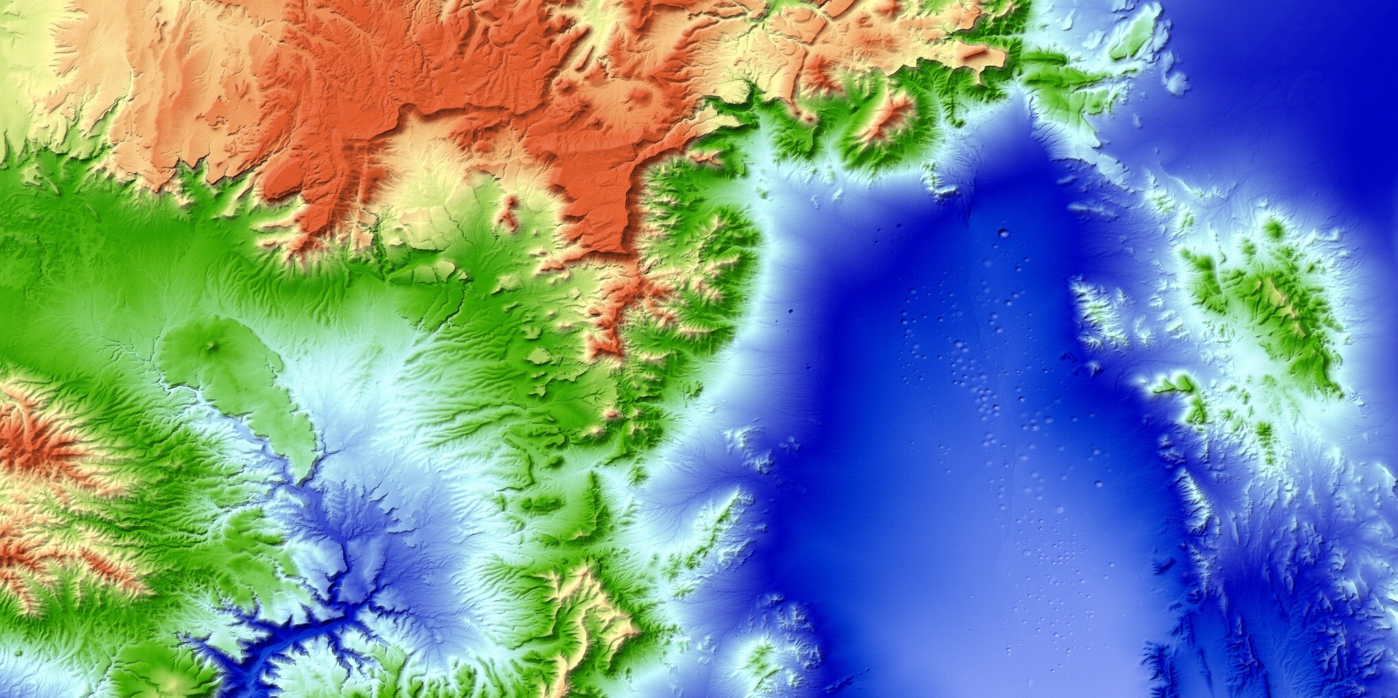
 results for landslides with tsunamigenic plausibility. All deformation is in the line of sight (LOS) of the satellite look direction. Positive values indicate distances from the satellite to the ground surface became shorter (for example, vertical uplift or horizontal displacement in the direction of the sensor) and negative values indicate distances from the satellite to the ground surface became longer (for example, vertical subsidence or horizontal displacement away from the sensor). Most landslide areas are delineated based on PSInSAR points that show deformation, unless clear lineations associated with slope deformation were visible in imagery (for example, Yale F in Panel A), or the landslide has been previously delineated using high resolution imagery (for example, Barry Arm A and B in Panel D; Coe and others, 2021). Landslides with a blue label indicate those with tsunamigenic plausibility. Satellite path and analysis dates shown in the panels are as follows: A, P160, 2018–20; B, P160, 2018–20; C, P065, 2016–18; D, P065, 2016–18; E, P094, 2016–18.")

 and directly above a water body (noted with B–B′). For landslides not directly above water bodies, the distance (Lshore) and elevation difference (Hshore) of the landslide to the closest waterbody is the sum of the distance and elevation difference of the fall line (A–A′) and the length and elevation distance of the path from the bottom of the landslide to the shoreline (A′–A”).")